60km Rivers Rom and Beam

Ride Overview
Just as rough wood, concrete, pitted metal, or rock can be beautiful both to behold and to touch, so too are the the ancient forests, rivers and heathlands of East London. The route is a journey into a gritty and unkempt part of London and is all the richer and more exciting for it. But it’s not all a post-industrial landscape, for there are too, superb gravel tracks, ancient estates, semi-wild horses, grasslands, former gravel pits landscaped into Country Parks. Beyond all else, the gravel tracks are probably the best gravel riding you can do within Greater London’s boundary. In the parks cycling is not just tolerated, but encouraged. It is the sort of ride that you choose when you need a break from conventional urban riding, from its manicured and ordered state, when you wish to be wild and free.
Ride practicalities
Ride Practicalities
START/FINISH: Barking Riverside DISTANCE: 58km TOTAL ASCENT: 380m TERRAIN AND SURFACES: The route may be muddy after rain beside the River Rom and through Havering Country Park. For the rest, it is firm gravel paths or tarmac RECOMMENDED CAFÈS/PUBS; There are cafés in Eastbrook Country Park, Gidea Park, Barking Riverside NEARBY MAINLINE TRAIN SERVICES: Barking. Also the Suffragette Overground Line LINKS TO OTHER RIDES: Eastern Gems
NB: Recommended Cafés, pubs, camping, accommodation are those which meet the WMWG mark of quality.
Ride Notes
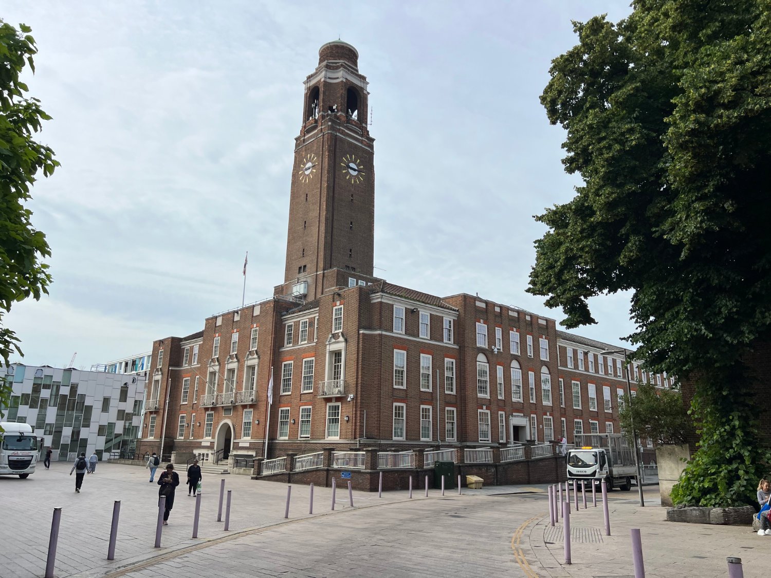
Leaving Barking Riverside, with its new Uber Thames Clipper pier and stylish London Overground terminus, you enter into Barking’s Brave New World - ‘A place to be, become and belong’, according to the marketing. A formerly heavily industrialised landscape of chemical plants, coal-fired power stations, car assembly plants, is now gleaming with 10,800 new homes. New bike paths curve around well-planted flower beds, grass is mown, buildings are nearly on a human scale.

Barking Riverside
From the Riverside, curiosity may lead you to the mouth of the confluence of the Roding with the Thames. It is a short and rough ride, as gritty, as you’ll ever wish for. Connoisseurs of urban neglect and degradation will enjoy riding past the remnants of the old power station, (in its day, the largest in the UK) its yard once full of coal now filled with colourful shipping containers. Pylons, sub-stations, fly tipping, parked up lorries. Dust and Dirt. Severely pock-marked roads. Tyre shops. Dickensian in its gloom and neglect, but beautiful in a weird sort of abandoned way.

Creekmouth, Roding Flood Defence Barrier
The creek is tidal and the enormous flood barrier (built in 1983) looks like a guillotine for beheading giants. In the shadow of the flood barrier is a sad little park, as sorry as a park can be.

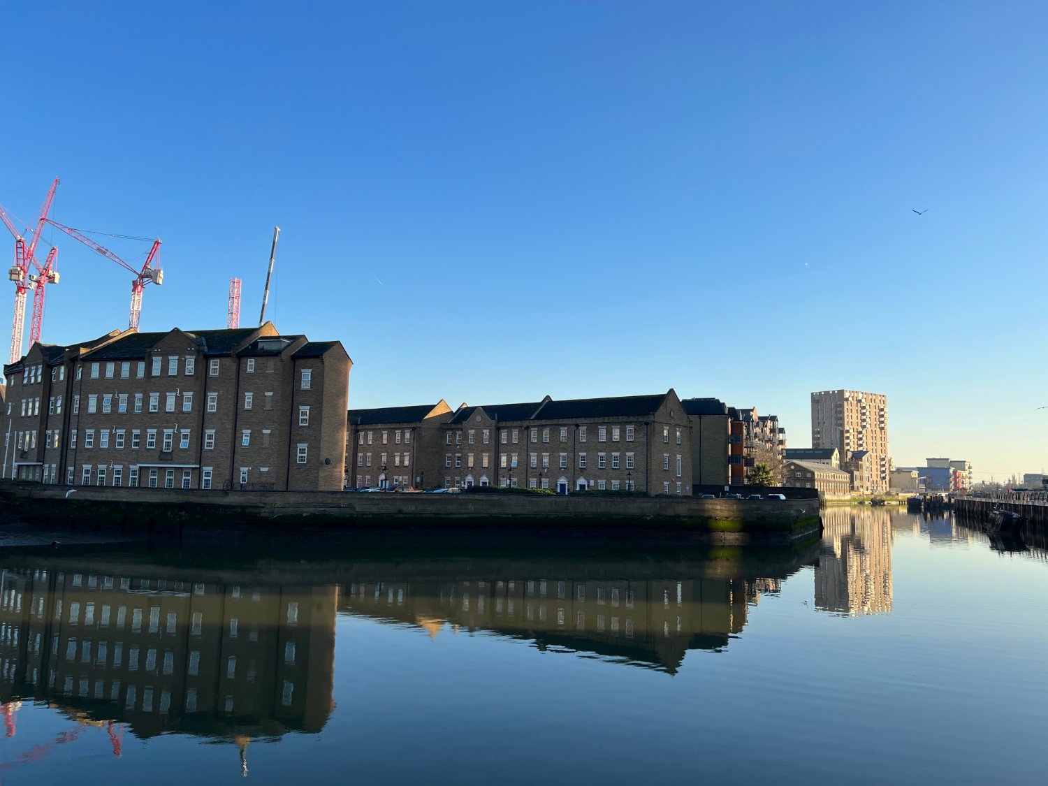
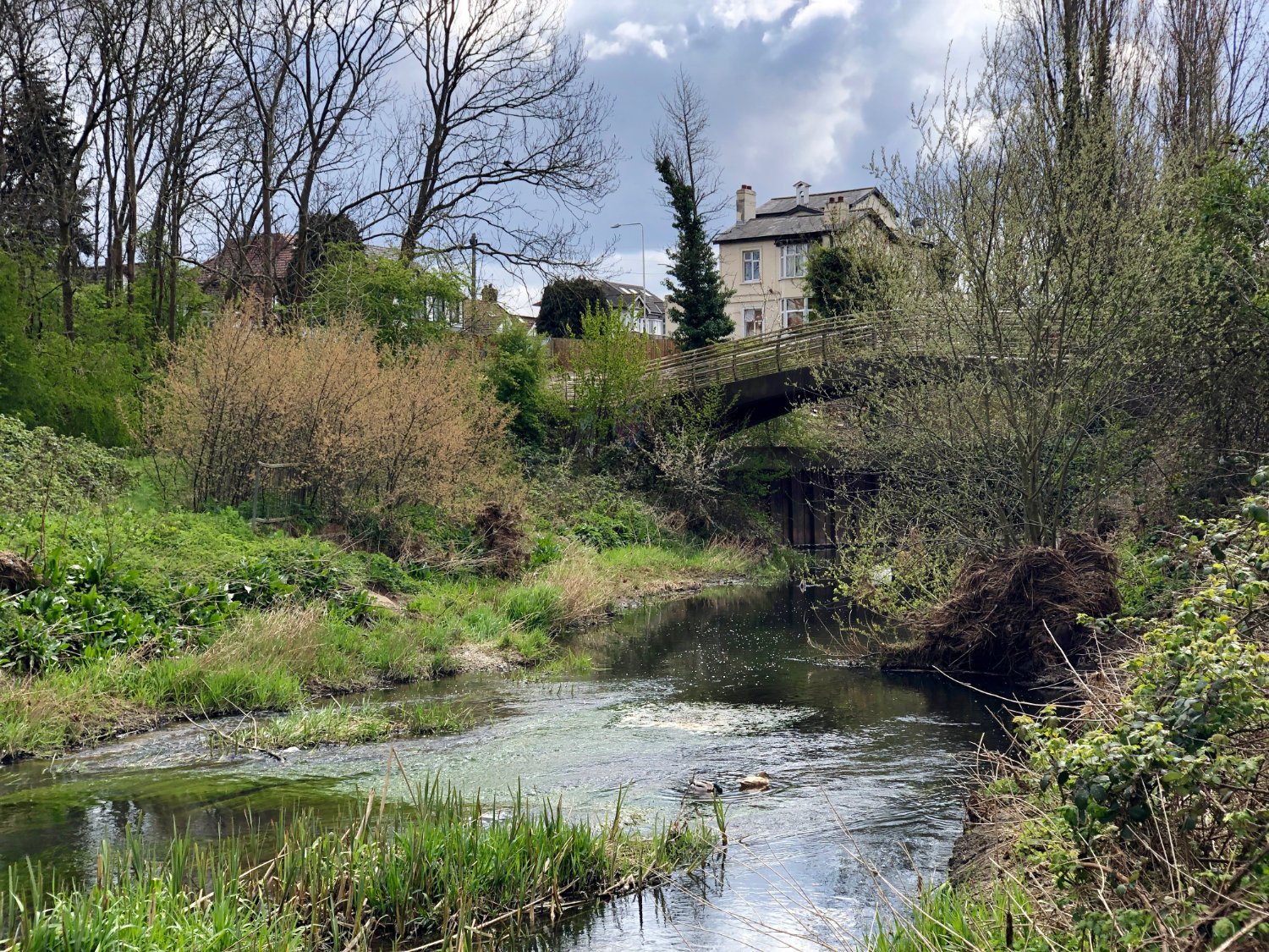
River Roding, Barking
Rather than riding along River Road, a narrow lorry-fest of a lane, return back the way you came and pick up the well-signed C42 into Barking. It’s not all new builds, for there is plenty of drab housing, before a short backroad takes you to the river. On a shared path, you ride beside the river to the harbour which was home in the 1850s to England’s - some sources say the world’s - largest fishing fleet. Before the age of refrigeration the boats, known as ‘smacks’, had a hold filled with sea water into which the caught and still live fish were thrown. From the port, carts loaded with barrels of sea water, took the herring, sprats and other live fish into London. Rather than fish and chandlers, there are high rise flats.

The Temple, Wanstead Flats
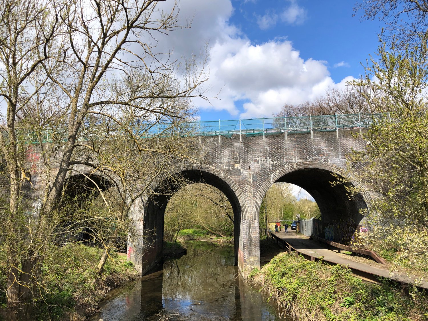
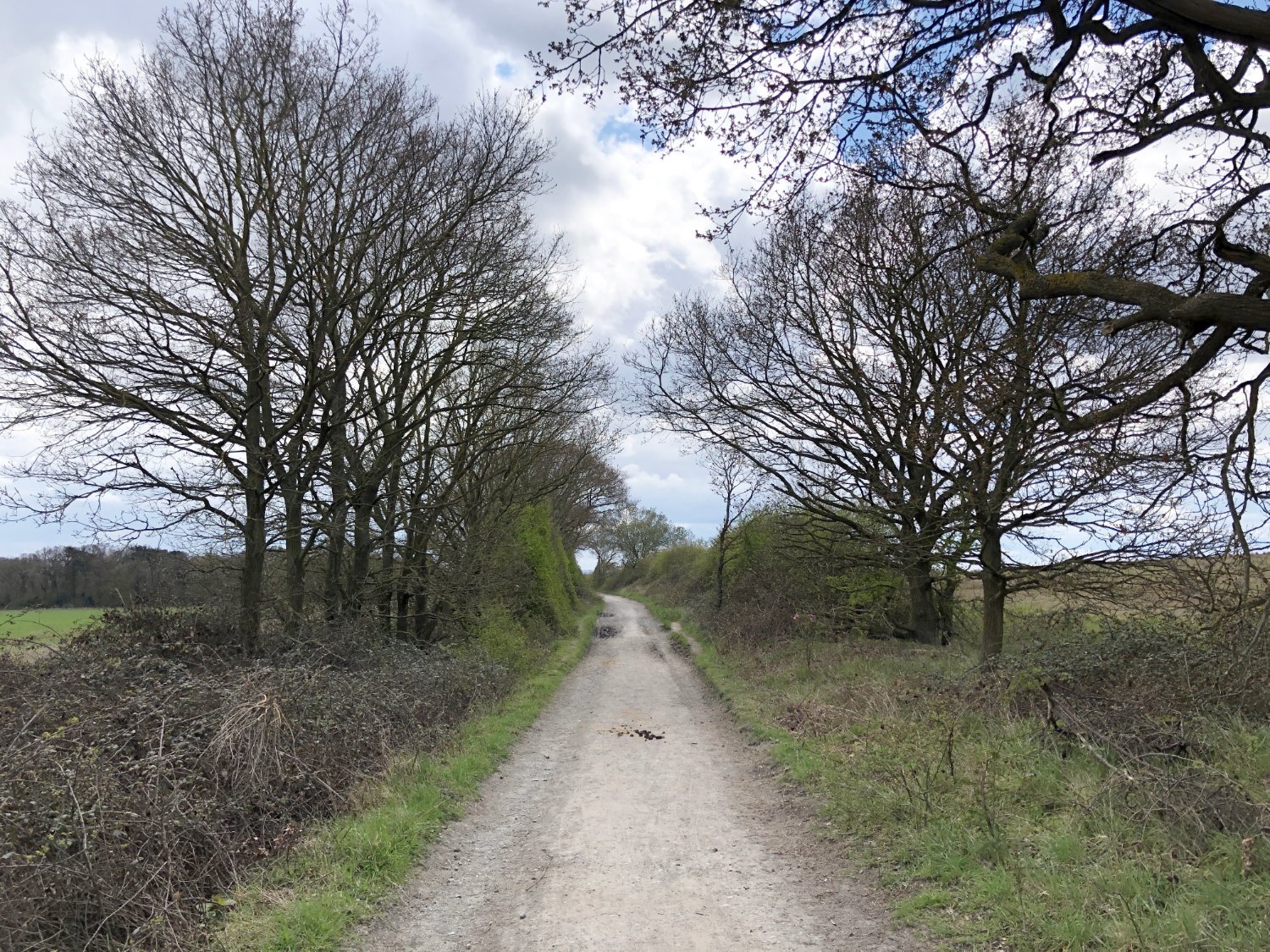
Once across the bridge you have a few kilometres where you may be wondering if you’ll ever see a river again. Persevere, as you ride through Ilford. It’s far from pretty. But then, down a side alley, you join a cyclepath beside the river and the harshness of the ride so far is replaced by tangles of elders, poplars, willows, brambles, reeds and nettles. Visually the riverbanks is an unkempt mess, but it is exuberantly alive. Birds and insects love it. The fly, and flit, dart and dive. Wildflowers are abundant. For all this, the soundscape is still very much city - the six-lane North Circular is nearby, behind trees. Continue northwards on a gravel path, rich and green, passing Redbridge (so called for the ‘red-bricked bridge’ which crossed the Roding) and up to Chigwell. Tracks and paths are alternated with roads, some of which are busy. If the traffic is too much, ride on the pavement, it’s little used by pedestrians.

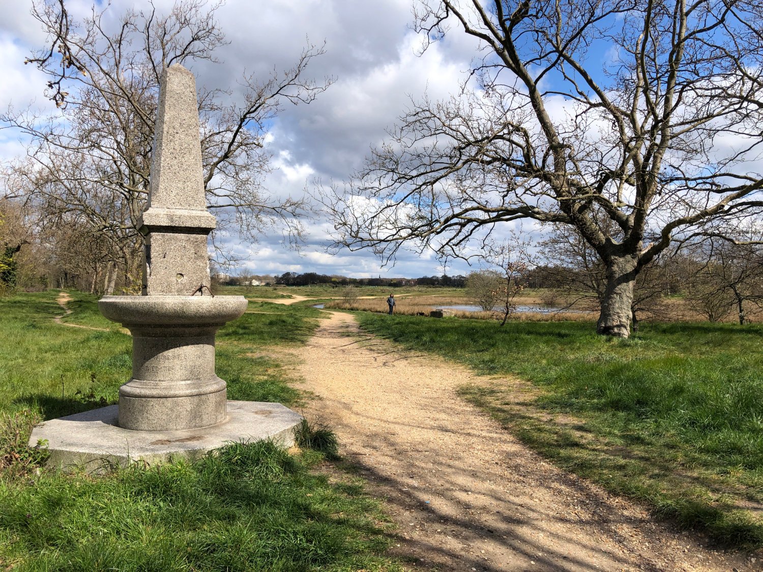
Havering Country Park
At Chigwell Row, head towards the children’s play area on the big green, then follow the London Loop path into woods. It’s a maze of paths and it is easy to miss the path. However, your navigation device will lead you around and through the woods to the other side. Out of the woods, there is a short section (300m) of busy dual carriageway, but if you time it right, you may have the road to yourself whilst the traffic is held up by lights.
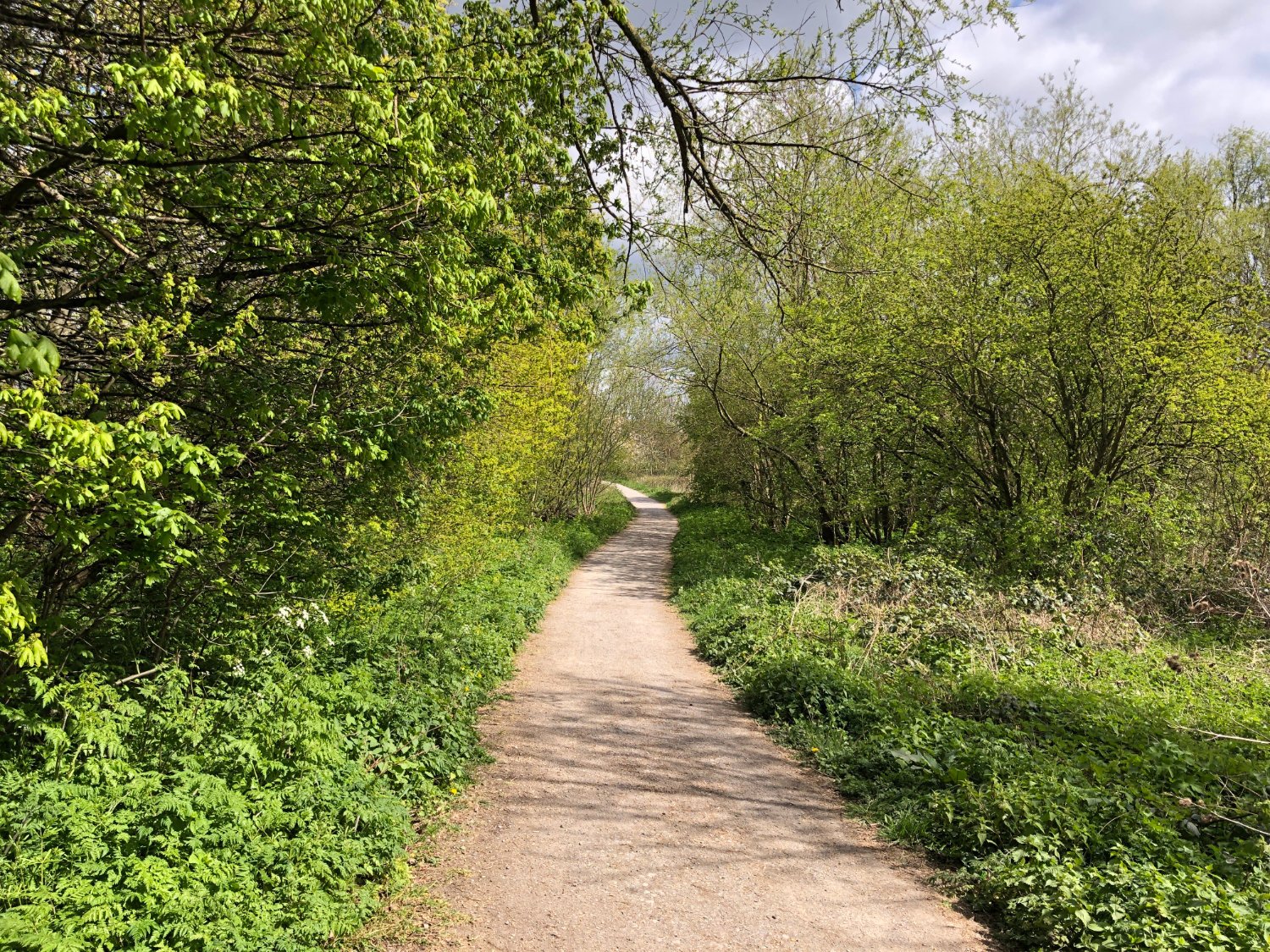
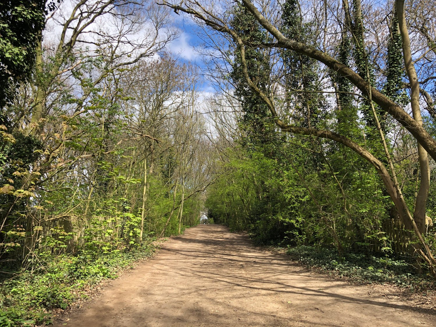
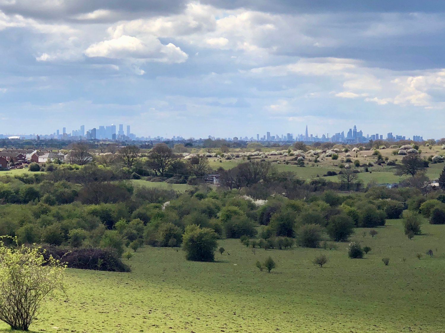
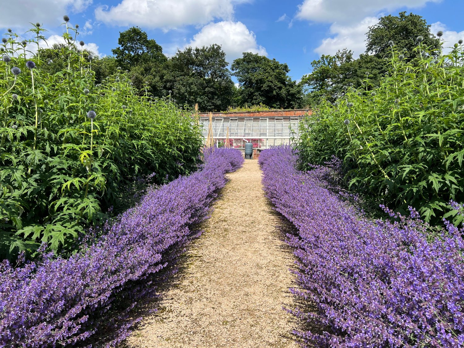
A gate marks the start of a fabulous section through Hainault Forest. The path is wide, sometimes a little muddy after rain. You’ll be climbing too, but nothing massive. It’s very lovely. After all the industry, noise and rough-hewn nature so far, to be immersed in the immensity of an ancient forest, whilst still within the bounds of Greater London, is quite the thing. Out of the woods, there are a series of London’s greatest gravel tracks. Real gravel. Fast and straight. In your excitement, remember to look up for there are some of the best views over the distant towers of London.

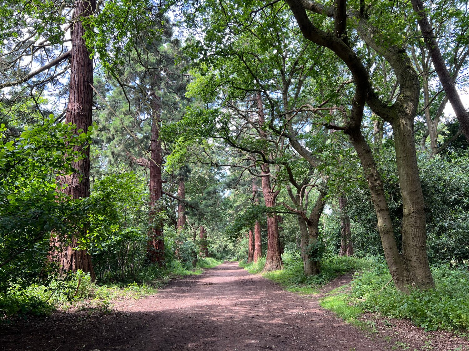
Wellingtonia Avenue
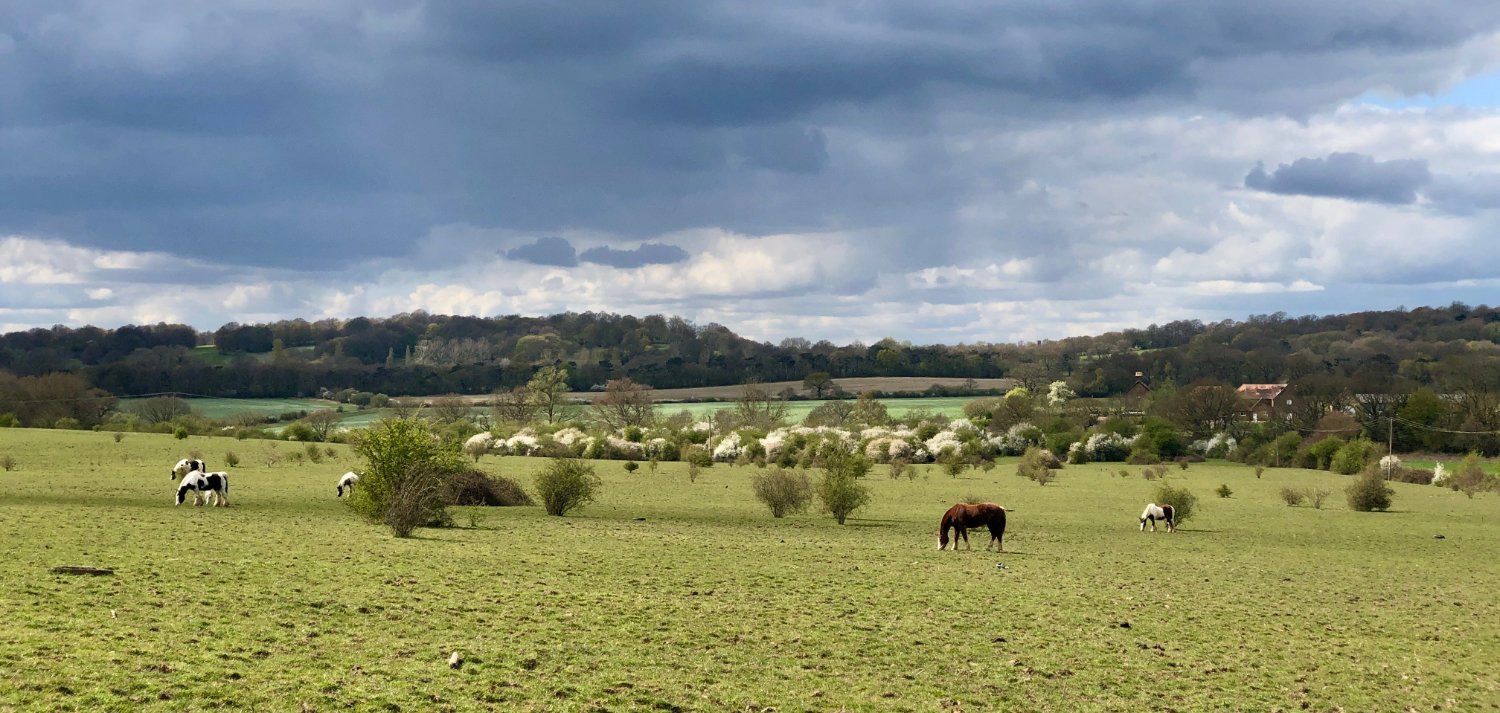
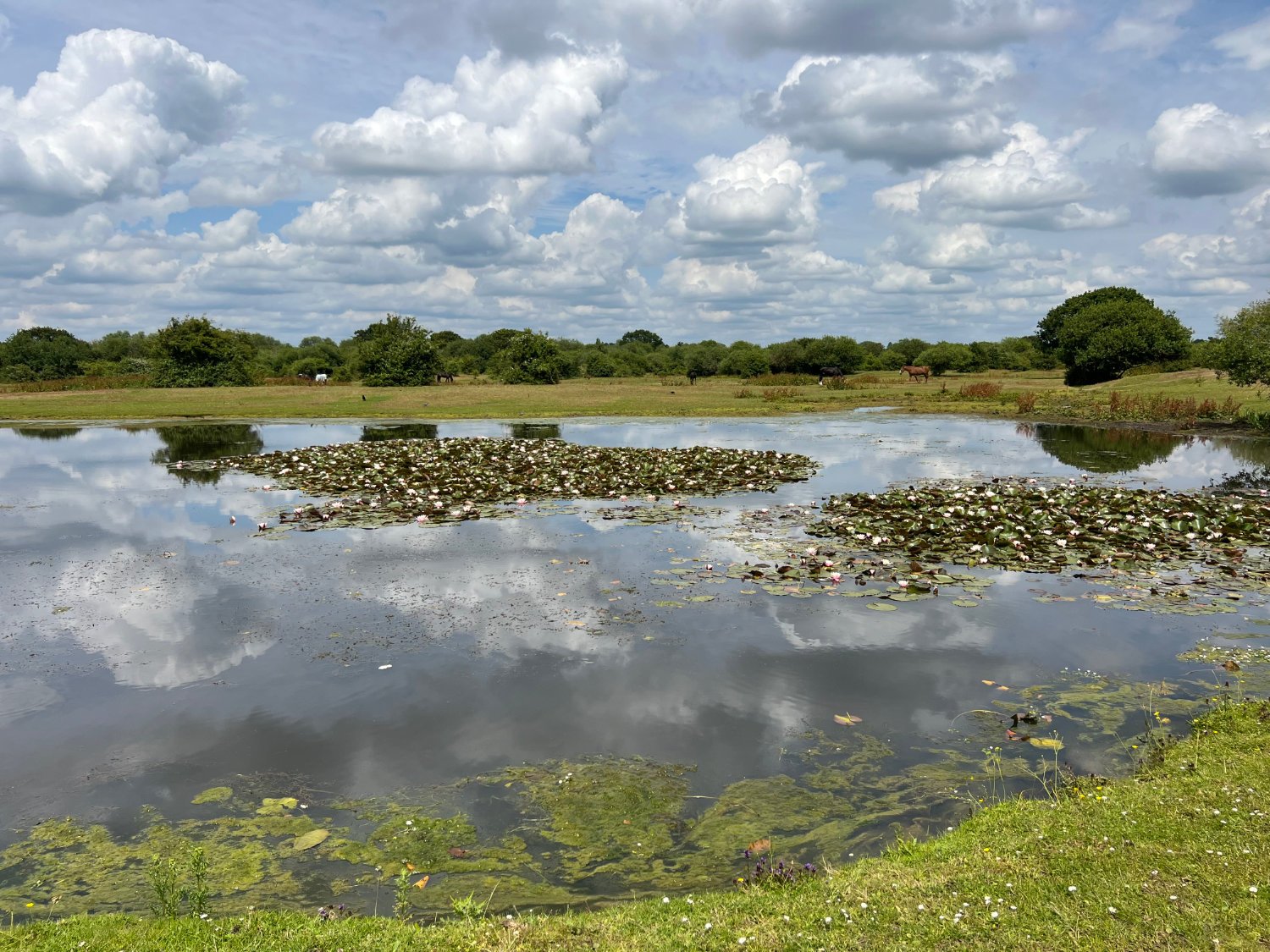
You ride past sprawling grassland, habituated by semi-wild horses, and then into more dense woodland which forms part of the Havering Country Park. Here, you pedal up the Wellingtonia Avenue, an impressive double row of Californian redwoods. Planted nearly 150 years ago by the McIntosh family who owned the local mansion, they might over the next few hundred years, rival the redwoods in California, the world’s tallest trees.

Havering-atte-Bower
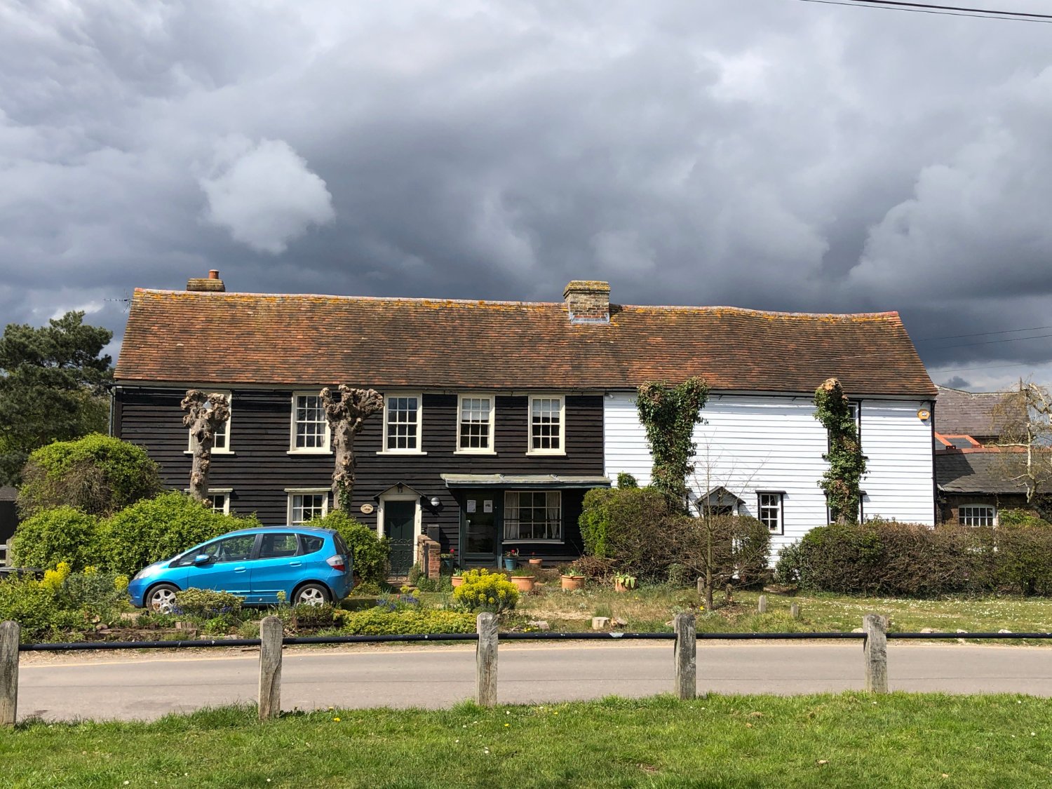
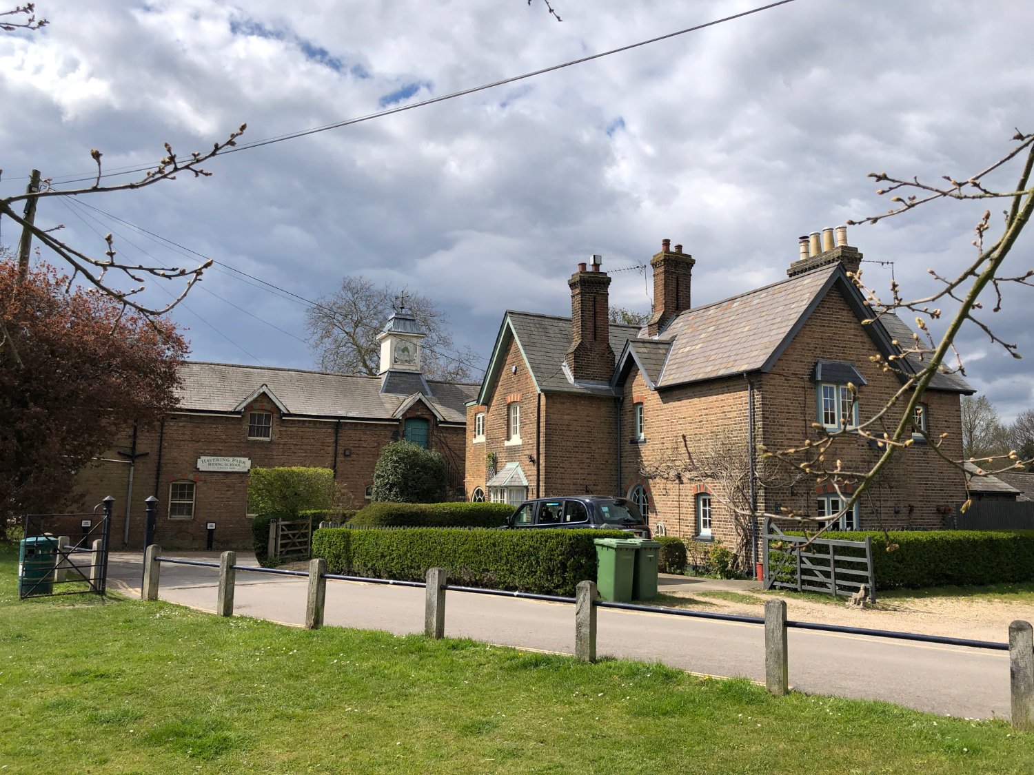
Havering-atte-Bower, a contender for the quirkiest place name in London, was until 1620, the location of one of the principle Royal Palaces of London, the official residence of England’s Queens. Nothing now remains of the sprawling complex, instead there are clapperboard houses surrounding a village green, a flint church, oak trees, a stable yard and in summer, roses in the cottage gardens. It’s all very English, and far removed from any traditional image of London.
From Havering you ride back down to the Thames valley via a mix of woods, fields, a walled garden (Bedford Park), wilderness, playgrounds before joining Black’s Brook through a succession of well maintained parks; Bedford Park, Raphael Park, Gidea Park.
Eastbrook Country Park
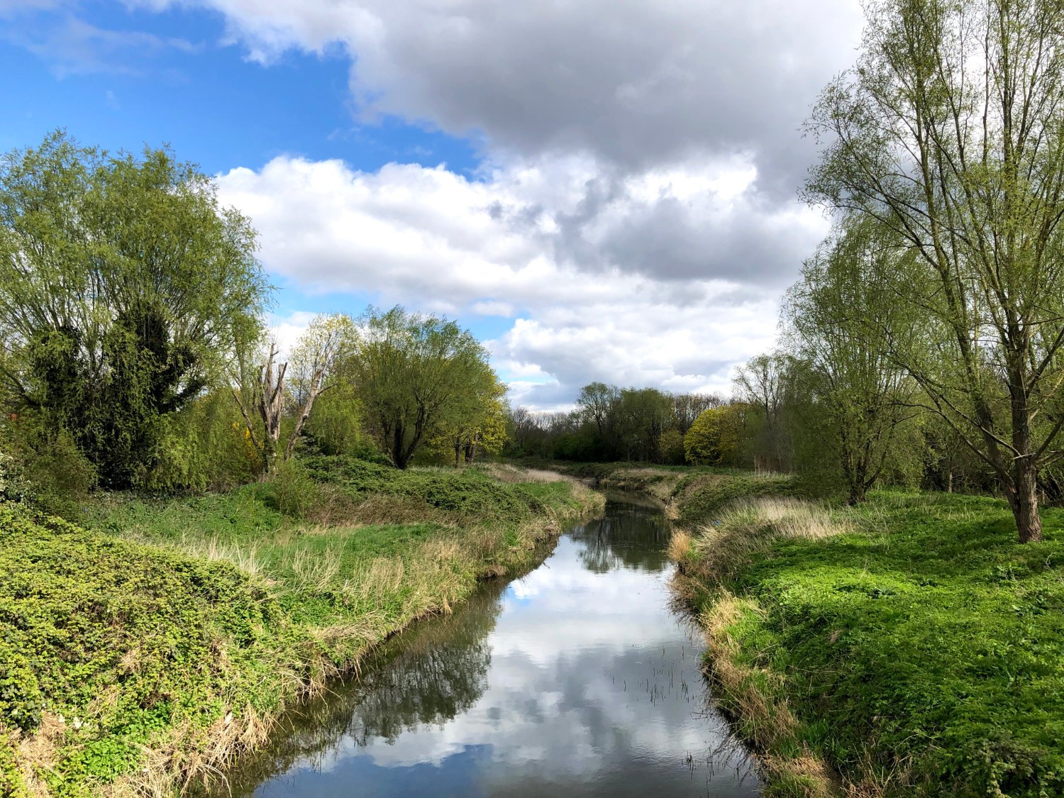
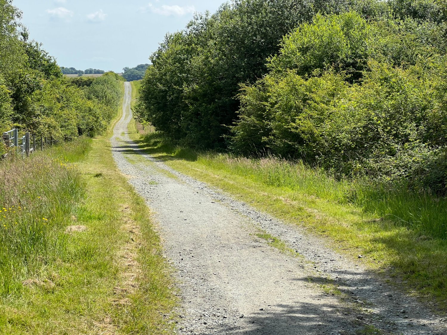
Eastbrook Country Park is part of the Thames Chase Trust which has, since the millennium, sought to regenerate much of the former industrial wastelands of East London. To date over a million trees have been planted, lakes cleaned, soil decontaminated. Eastbrook, a former gravel and sand quarry which became a landfill site, has been transformed into a country park of lakes, wildflower meadows, grasslands and stands of trees. The Visitor’s Centre has a good café. Gravel paths wind this way and that and it’s easy to get lost. Essentially, take the track from the Visitor’s Centre and head past a lake. Where you see an owl carved from a tree stump, turn right, then on a wide broad track, turn left. The gravel path follows the railway into Romford. There’s a short section of road riding, before you cross the railway and take another superb gravel track into the Beam Country Park.
The River Rom now becomes the River Beam. Name changes notwithstanding, ‘Dagenham’s Green Corridor’ is another swooping path through former industrial areas, now made good into mixed country. Again, it’s easy to become distracted with the flowing gravel paths which pace over grasslands and flow around lakes, and why not? Have a play, ride like a kid with a broad grin on your face before rejoining the route towards Dagenham Dock.

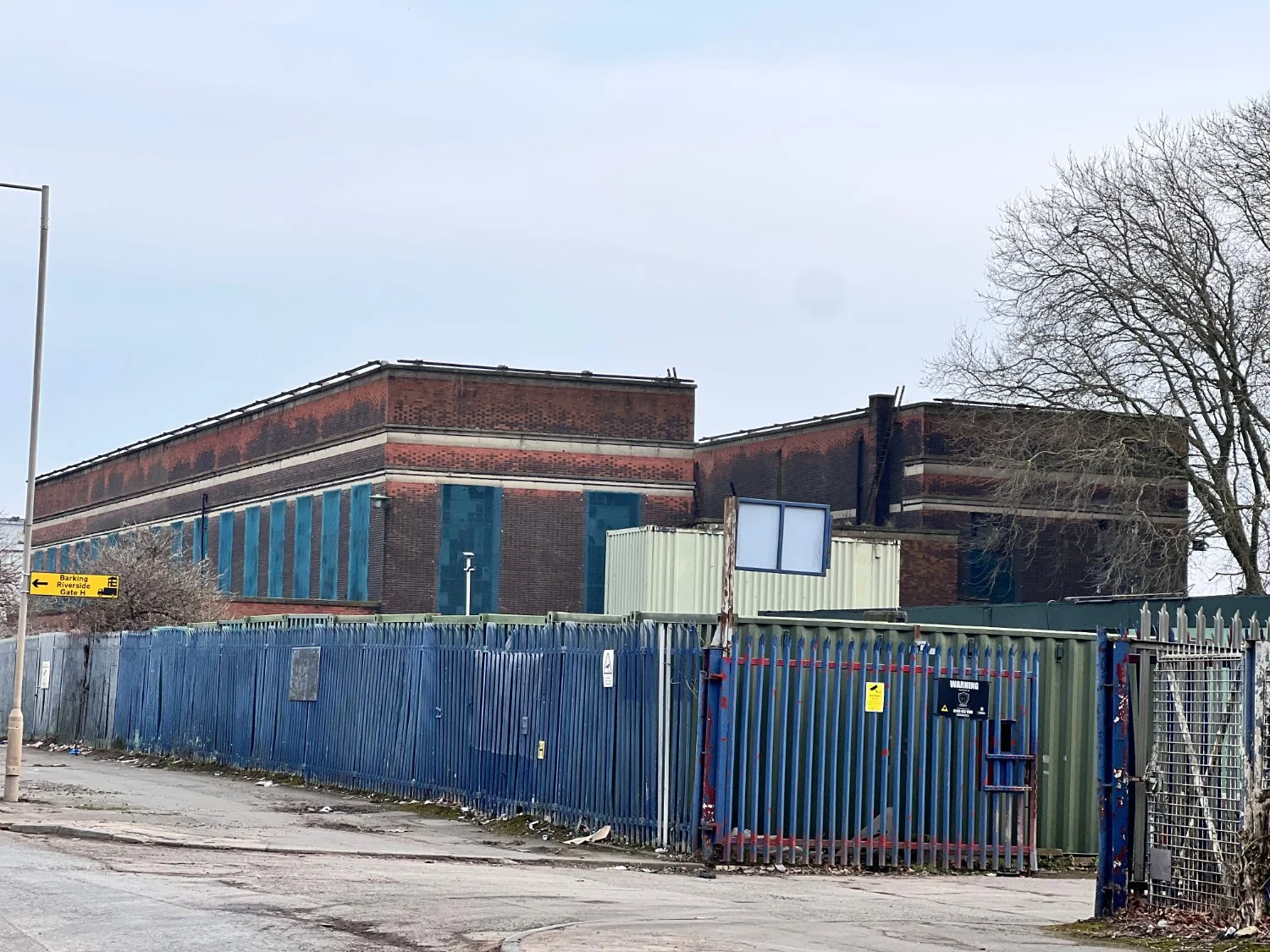
Barking Riverside’s new Overground (Suffragette Line)
The last section of the ride is a feisty, industrial, bleak, landscape, You’ll need to take a lift up, over the railway lines and down onto Choat’s Road. Harsh and discordant. The Ford Factory, aggregates, oil storage, and strangely several food processing plants including Hovis. For a kilometre or so, it is a world of dust, grit and noise. Litter everywhere. It is permitted to ride on the footway, or use the unprotected cycle lane on Choat’s Road.
Soon you are back into the ordered world of Barking Riverside where trains or boats await.
Every route on this website has been carefully researched as well as ridden. However situations on the ground can change quickly. If you know of changes to this route, or cafes, pubs and the like which you think other cyclists need to know about, feel free to share your thoughts below.
If you enjoyed this guide, why not subscribe to the website so as not to miss other inspirational routes?
wheremywheelsgo.uk is a Feedspot UK Cycling top website